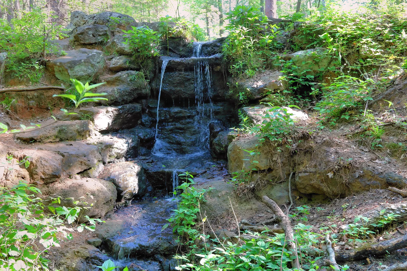
Choose the kind of walk you want first: a garden visit, a stretch of trail, or time watching birds. These starting points give you different ways to get outside. Pick one near the town you're visiting, and leave room to slow down once you arrive.
Longview: greenways and wooded corridors
The city's walking-trail guide and trail map make Longview a useful trail destination in its own right. Choose a trailhead before setting out; proposed connections on the master-plan map are not open routes.
- Paul G. Boorman Trail: a three-mile route along the Grace Creek corridor, connecting with Lois Jackson Park. The city lists parking at 919 West Marshall Avenue, with additional trail access on Bill Owens Parkway, Princeton Avenue, and H. G. Mosley Parkway. Restrooms, drinking fountains, and fitness stations are listed along the route.
- Cargill Long Trail: a three-mile wooded route along a former railroad corridor. Check the city's map for the entrance that fits your walk.
- Guthrie Trail: another wooded option at Guthrie Park, 301 Tupelo Drive. Use the city map to choose your route.
- Akin Trail and Julieanna Trail: each is listed as a three-quarter-mile option when you want a shorter walk.
- Longview Arboretum: a half-mile loop in a garden setting. Check the arboretum's visitor arrangements separately from the city greenways.
The city park directory has park addresses and facilities. Pair one route with the Longview guide below rather than trying to cover every trail in one afternoon.
Nacogdoches: creek trails and SFA gardens
The city's parks, trails, and lakes resource covers Lanana Creek Trail, including the 5.1-mile main trail and 1.8-mile northern extension. Choose a segment rather than assuming the entire 6.9 miles is one short loop. The city says the Park Street–Martinsville Street section has reopened after flood damage but is not fully repaired; avoid erosion, caution tape, and fencing. Check the current notice before walking that stretch.
Banita Creek Park, at 501 Pearl Street, has a walking trail for a shorter park visit. The city's parks page links maps and facility information.
SFA adds several different outdoor settings:
- Pineywoods Native Plant Center and Tucker Woods: native plants and woodland paths, with visitor access from Raguet Street.
- Gayla Mize Garden: garden paths near the East Starr Avenue entrance.
- SFA Recreational Trails: a multi-use system off University Drive, with paved and unpaved routes. Read the route information before choosing a walk or bike ride.
Use SFA's garden parking guide for the correct entrance and campus visitor parking rules. Lake Nacogdoches' East and West parks are separate destinations southwest of town; find their resources in the lake directory.
Athens: gardens and a longer trail option
The East Texas Arboretum has both rugged nature trails and a paved portion. Those are different walking experiences, so check its trail interpretation guide and visitor information when choosing a route for your group.
The arboretum is at 1601 Patterson Road, Athens. A garden visit can be the main outing, with a downtown meal afterward. You don't have to take every trail to spend a worthwhile afternoon among the plants.
Mineola: choose the right preserve entrance
The Mineola Nature Preserve on the Sabine River is a separate drive from downtown. The city publishes resources for birding, walking, disc golf, mountain biking, and equestrian activities.
Its main hiking entrance is at 1860 CR 2724. The operator identifies different access points for Greer Hill mountain biking and horse trailers or RVs. Use the entrance for the activity you're planning and follow any event's named meeting point.
Palestine: woods beyond bloom season
Davey Dogwood Park has wooded roads, unpaved trails, and picnic areas. Use its park map to choose a walk and entrance rather than treating every route as the same kind of path.
Spring dogwood blossoms make a seasonal reason to visit; an afternoon in the trees can stand on its own at other times. The Dogwood Trails resource carries bloom updates when the season comes around.
Tyler: a walk around a park visit
Tyler State Park offers trails as well as its lake. Use the trail map to choose a route that fits the time and energy your group has, then let a picnic or a shoreline stop fill the rest of the visit.
The park's current visitor page carries access updates and day-use reservation information. Choose a trail before you arrive so the trip begins at the right part of the park.
Plan around the walk
Keep the operator's map handy, choose a route length that suits your group, and leave time for stopping along the way. Pair one outdoor stop with the nearest town guide below if you'd like to add shops, local history, or a meal.
Resources checked October 4, 2026.